Hiking and climibing
-
Getting out there in outer Montana
….my life and my blog have been left in a dust cloud, pressed flat in the gravel like dehydrated roadkill. I needed a break. Continue reading
-
Tongariro Crossing Take Two- that was then, this is now
Way back when, at the very start of the new millenium, I traveled to New Zealand and Tonga. The purpose was simple- a friend asked me to go to Tonga to avoid the impending Y2K disaster and greet the new year,… Continue reading
-
Park Butte-Railroad Grade on a full moon
Besides working like a dog and finalizing my Certified Interpretive Trainer and Envision certifications, I am trying to get back to wilderness fitness so I can go to Baffin Island next year and backpack the Arctic Circle for 3 weeks,… Continue reading
-
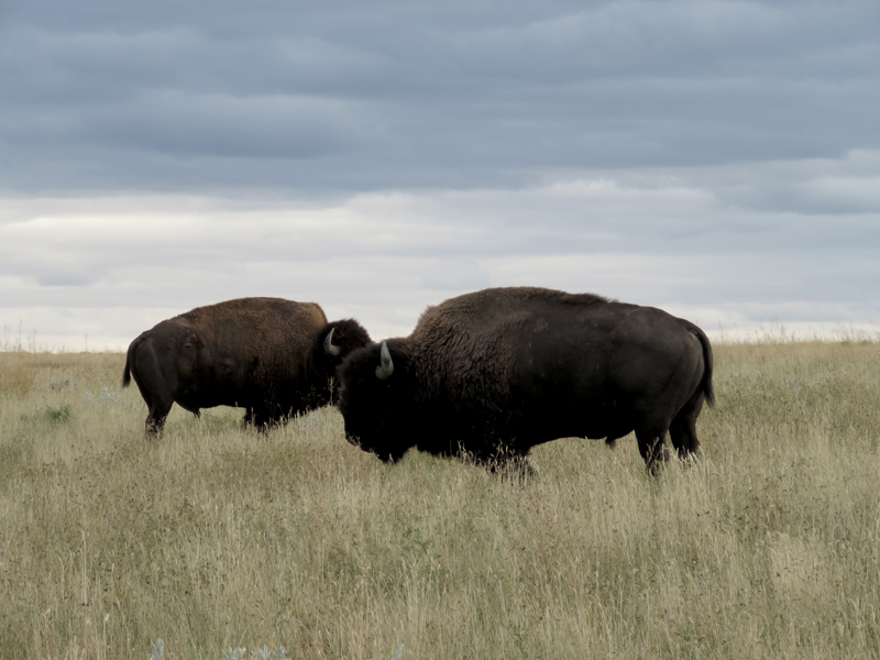
Made it this time- Heart Lake Loop, Yellowstone National Park
This was the trip I tried to do last year with my friend Brenda when she became injured. This year, I was fortunate to have the company of Michelle, a new friend from the National Association of Interpretation training I attended. … Continue reading
-
Welcome to the wilderness, bring your mittens
For my first foray back to a mountain in crampons after seven years, I took a trip to Mt. St. Helens. After May 15, climbing permits are limited to 100/day; had I known, I would have accompanied the 500+ people who went up… Continue reading
-
Hangin’ with the goats at Ingalls Pass
Remember, fellow hikers~ a fed goat is a dead goat. While these mountain goats and their eight compadres were highly entertaining, they had clearly been fed or allowed to lick people for the salt in sweat. Ignore them as they… Continue reading
